Ever fancied taking an adventure tour of the Amazon River to explore its nature and culture? Now you can – right from your armchair in the comfort of your home.

Armchair explorers can now trek through the forests of the Amazon Basin from the comfort of their home.
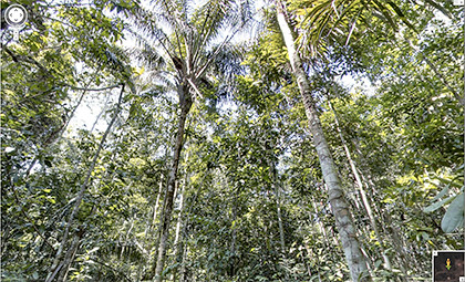
In conjunction with World Forest Day on 21 March, Google has brought more than 50,000 photos of the Amazon Basin onto your computer in the form of immersive, 360-degree panoramic views within Google Street View.
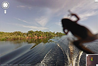
Cruise down Amazon river, trek through the jungles, try to spot a forest critter, or peer into life in the local community.
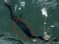
Many areas of the Amazon, including Rio Negro Reserve, are under the protection of the Brazilian government with restricted access to the public.
Many of us would therefore not have the chance to visit these areas even if we wanted to.
Google’s photographers were invited by Amazonas Sustainable Foundation (FAS), the local non-profit conservation organisation to collect ground-level images of the rivers, forest and communities in the Rio Negro Reserve.
These images are now available in Google Maps via its Street View feature.
The images were collected by a Street View trike, and a tripod camera with a fisheye lens—typically used to capture imagery of business interiors —to capture both the natural landscape and the local communities.
The apparatus allows access to rugged terrain inaccessible to the usual Google Street cars.
A similar trike was used to capture 360-degree street-level images of iconic landmarks in Singapore last year.
Tags: adventure, Amazon, forest, Google, maps, outdoors, photos, river, Street View

